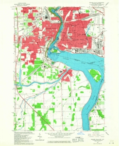
High resolution historical maps dating from 1884 covering the United States are now freely available from the United States Geological Survey (USGS) website. This is a work in progress, and there are currently 90,000 out of an estimated 200,000 maps available to download.
Historical maps are valuable resources for research in areas such as toponymy (the study of place names), sociology, geography and history.
The maps have been scanned and produced in PDF format. The Maps, Official Publications and Statistics Unit are able to reproduce high-quality large-scale prints of these maps (details of this service is available here) if required.
Many of these maps are also available in paper on Level 7 of the library. Please ask staff at the Enquiry Desk on Level 7 for further information on accessing maps either online or paper format.
Categories: Library

 Miners, AI, and wind turbines : New Official Publications 07.05.24
  Fiscal Drag, Vaping, and the United Kingdom – New Official Publications 17.04.24
  The Bookplates of Emil Doepler and Georg Otto (MS Gen 1746/1+3)
Leave a comment